The main features of the project are:
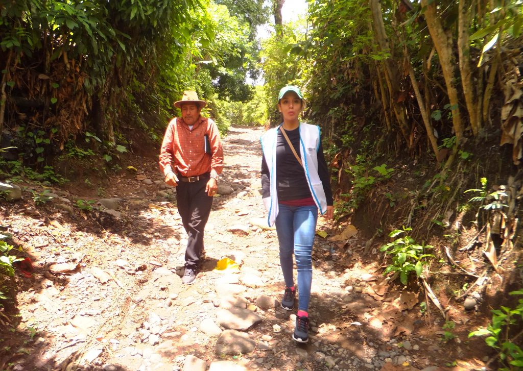
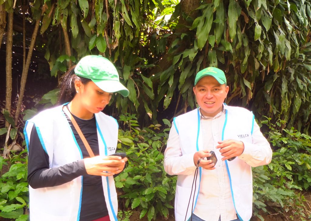
- Field work to determine:
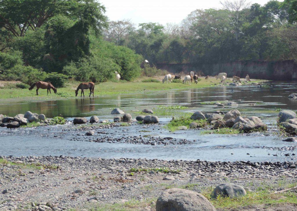
- Topographic survey, based on photogrammetric restitution of flight drone of 10 km of channel with an average width of 300 m and mooring to the geodetic network with complementary triangulation by means of total station.
- Processing of the national UDAR flight of 2×2 m resolution.
- Geotechnical campaign for the characterization of the terrain at 20 points along the channel at 3 different depths.
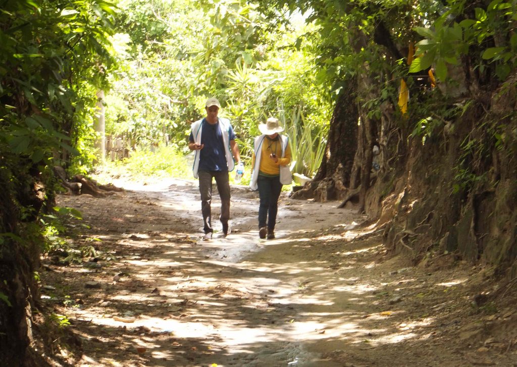
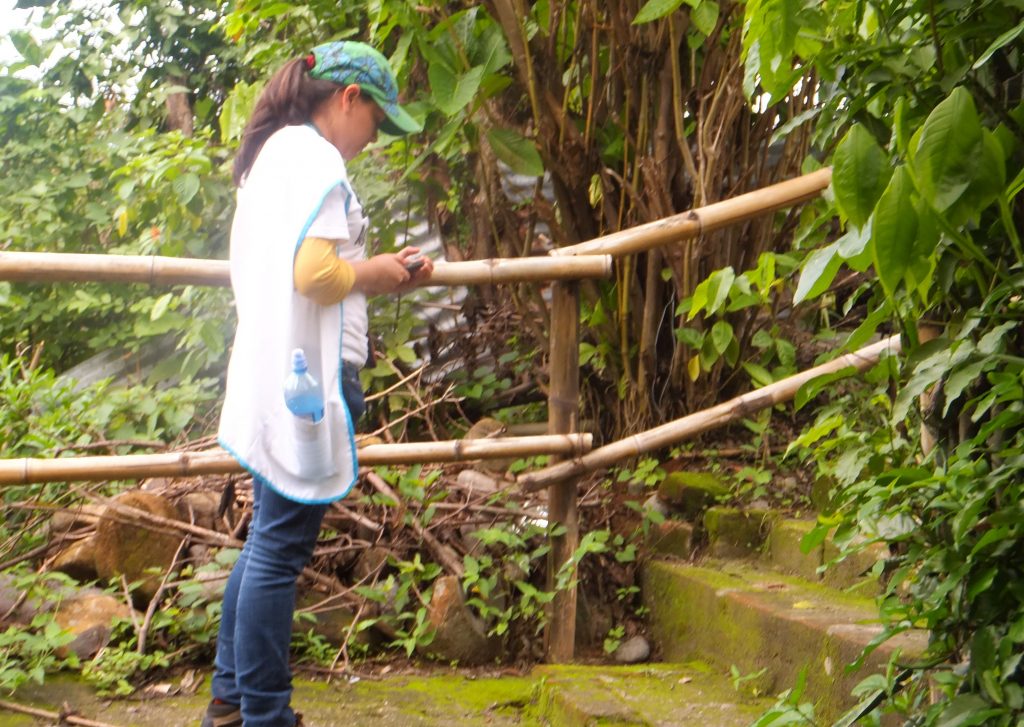
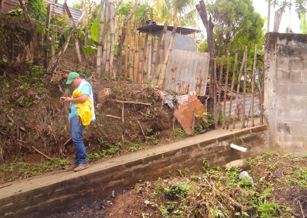
- Conducting socio-economic surveys.
- Carrying out a study of fluvial hydraulics:
- Pseudo-distributed hydrological model in Hec-HMS for the Jiboa River basin upstream of the stretch known as El Achiotal, with a total size of 568 km2.
- Modelling of river dynamics.
- Prediction of future migration of the channel.
- 2D hydraulic modeling in ISER.
- GIS processing of the results of the 2D hydraulic model
- Calculation of monthly contributions according to the Témez model.
- Calculation of sediment transport according to the revised universal soil loss equation (RUSLE).
- Evaluation of 2D sediment transport in each sub-section using the MIKE 21C model.
- Development of social and environmental zoning maps setting out the feasibility of quarrying.
- Legal analysis of the existing regulations and proposal to update the Environmental Law to regulate the sustainable extraction of stones – defining sustainability based on a specific zoning criterion as established in this consultancy – and to allow municipalities to carry out inspection and monitoring tasks that are regulated by municipal ordinances.

