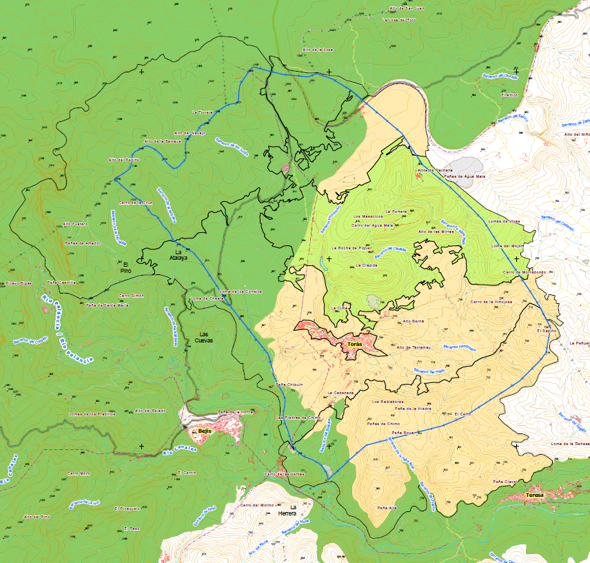
Within the framework of the revision of the Municipal Urban Planning, through the drafting of the General Plan of Torás. This master plan was accompanied by a Landscape Study.
The Landscape Study identifies the different existing units, from the factors orography, vegetation and anthropic uses.
The most valuable landscapes are identified, as well as landscape resources of a cultural nature (archaeological sites, monuments, churches, etc.), of an environmental nature (protected natural areas, monumental trees, etc.) and of a visual nature (viewpoints, points of greatest affluence, scenic routes).
It also includes a study of visibility from the main observation points through the use of Geographic Information Systems, calculating the visual basins of roads, viewpoints, passage areas, etc.
Based on the visual analysis, a landscape quality analysis of each of the landscape units is carried out.
This study was endorsed by a Local Public Participation Plan so that residents themselves could identify the landscapes they value most, and that are part of their identity.
Nevertheless, a number of points to be catalogued and a number of measures to be implemented were identified. The measures were articulated through Landscape programmes.
Type of services provided
Estudio de Paisaje:
- Territorial Analysis
- Visibility analysis
- Identification of Green Infrastructure
- Landscape Programs
- Public Participation Plan
- Cartography

