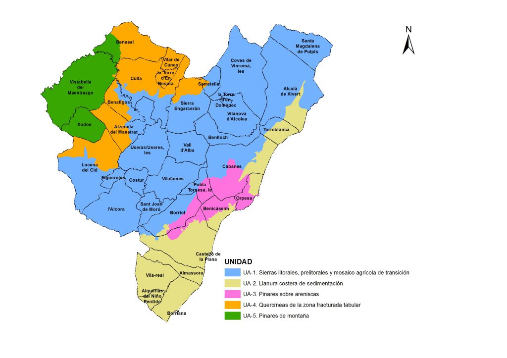
The Forest Resources Management Plan carries out an analysis and diagnosis of environmental services (both forest production and flood regulation services, erosion control, etc.), including a market analysis of these services, and includes the management of uses in the demarcation, delimiting areas of action to maintain and improve these services.
The area of the demarcation is 217,941.69 hectares, of which 121,231.40 hectares are forested. At the level of outputs generated, the following stand out:
- Guidelines for improving the provision of services provided by forests, especially for the different uses of wood and non-wood, setting out proposals for action for each of them.
- Overall priorities and objectives of forest management within the forest demarcation.
- Programme of forest actions in the areas of the demarcation, paying particular attention to fuel, climate regulation and mitigation of desertification, recharge of aquifers and mitigation of floods, diversification of Pinus halepensis populations, control of mistletoe.
- Planning for the development of forest infrastructure, especially the forest road network of the demarcation.
- Planning for the prevention of risks to people and property in forest management, integrating existing fire prevention plans.
- Strengthen the stability of forest ecosystems, including proposals for restoration and reforestation, including priority areas, species guidelines, conditions, methods, etc.
- Compatibility of biodiversity conservation with forest management.
- Recreational and tourist use planning.
A participatory process with more than 22 representatives of the various interest groups involved in the Plan.
Type of services provided
Drafting of the Plan:
- Territorial Analysis
- Diagnosis of the Territory
- Definition of Objectives
- Strategies of the Plan. Guidelines and Proposals for Action.
- Basic Criteria for Monitoring, Monitoring, Evaluation and Time Frames for the Implementation of the Plan
- Cartography
Strategic Environmental Assessment:
- Strategic Initial Document
- Strategic Environmental and Territorial Document
- Landscape Study
Public Participation Plan

