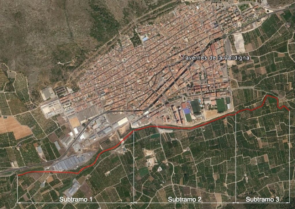
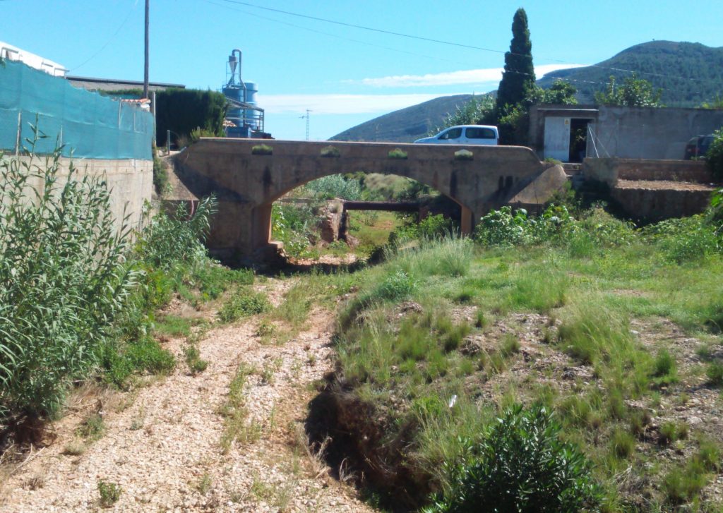
The project consisted of the following work:
- Cartography and topographic surveys at a scale of not less than 1:1000; management of rainfall information.
- Hydrological and hydraulic studies, application of mathematical models, other studies.
- List of adjacent owners and preparation of cadastral plans.
- Processing of public information ; including payment of advertisements, settlement of claims.
- Management of queries and reports from Agencies Communications to Cadastre and Property Registries, including payment of fees if applicable.
- Reappraisal and reconnaissance in the field with splitting of the proposed demarcation line.
- Management of preventive records of affected farms.
- Project of delimitation .Edition with memory-additions; planes with the delimitation line tracing. Cushioning.
- Procedures for a hearing; Allegations; Decision on the case; Corrections of Entries in the Property Registry.


